This event has been ended!
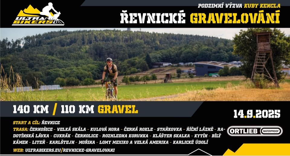
ŘEVNICKÉ GRAVELOVÁNÍ - 140km Výzva Poháru UB pro gravely
Řevnické graves - 140km challenge of the UB cup for graves
Event by: Pohár UltraBikers
Location: Hostinec U Rysů, nám. Krále Jiřího z Poděbrad 54, 252 30 Řevnice, Czechia
Sports
About event
Řevnické graveeling is a one -day UB challenge of a pair of routes for gravels with a length of 140km and 110km, in the area of the Bohemian Karst and Northern Brdy, around Černošice and Mníšek pod Brdy.
Colorful routes with a larger proportion of terrain will lead you to the most beautiful prospects of Berounka, Vltava or Karlštejn, to deep gorges, fresh forests, but also historical monuments such as the Jewish cemetery near Třebotov. Among the main attractions will include the Cukrák transmitter, Korunka lookout tower or Mexico quarry and Velké America.
start time: Sunday 14.9. 2025 at 9:00, presentation from 8.15
Action: Řevnice, Inn U Rysů
Length and elevation: 142 km/2600m or 110 km/1900 m
terrain: approx. ), 40 % gravel forest and dirt roads; 10% paths, meadows and MTB sections
route and attractions: Řevnice - Dobřichovice - Černošice - Velká Skála - Kulová hora - Černá Rokle - Radotín - Staňkovka - River Spa - Radotínská footbridge - Golf Park - transmitter Cukrák - Jíloviště Kytin - Bílý Kámen - Volk - Všeradice - Liteň - Karlštejn - Imperial Meadow - Moine - Lomy Mexico and Great America - Karlické Údolí
Map
Href = "https://mapy.cz/s/losezafa"> https://mapy.cz/s/losezafa Href = "https://ultrabikers.eu/revnicke-Gravelovani"> https://ultrabikers.eu/revnicke-gravaelovani
Colorful routes with a larger proportion of terrain will lead you to the most beautiful prospects of Berounka, Vltava or Karlštejn, to deep gorges, fresh forests, but also historical monuments such as the Jewish cemetery near Třebotov. Among the main attractions will include the Cukrák transmitter, Korunka lookout tower or Mexico quarry and Velké America.
start time: Sunday 14.9. 2025 at 9:00, presentation from 8.15
Action: Řevnice, Inn U Rysů
Length and elevation: 142 km/2600m or 110 km/1900 m
terrain: approx. ), 40 % gravel forest and dirt roads; 10% paths, meadows and MTB sections
route and attractions: Řevnice - Dobřichovice - Černošice - Velká Skála - Kulová hora - Černá Rokle - Radotín - Staňkovka - River Spa - Radotínská footbridge - Golf Park - transmitter Cukrák - Jíloviště Kytin - Bílý Kámen - Volk - Všeradice - Liteň - Karlštejn - Imperial Meadow - Moine - Lomy Mexico and Great America - Karlické Údolí
Map
Href = "https://mapy.cz/s/losezafa"> https://mapy.cz/s/losezafa Href = "https://ultrabikers.eu/revnicke-Gravelovani"> https://ultrabikers.eu/revnicke-gravaelovani